BIM technology
BIM (Building Information Modeling) is an approach to the full range of work on the creation of any construction object and its further support in a single information field (model). Information modeling, manages the life cycle of an object at all stages of its existence. The main difference between BIM and other types of design is the collection and complex processing of the entire architectural, design, technological, economic, operational and other information about the construction object in a single environment (BIM model). Moreover, all elements of the model are interrelated and interdependent, which, in fact, gives the model a factor of realism (approximation of the real situation).
An important component of the BIM innovation approach is the possibility of visual modeling of the construction process itself, in the course of which each of the specialists participating in the project can track the implementation of the technical solutions laid by them and their interaction with the subcontractors. When modeling the construction and operation of the facility, it is possible to observe the work provided for by the project.
When designing a new linear structures must take into account the geographical features of the selected area. Basically, to solve this problem, the services of surveyors are resorted to, who study the site of upcoming work, draw up a site plan with all the details, then transfer all the accumulated information to the design specialists. Only after that you can begin design work.
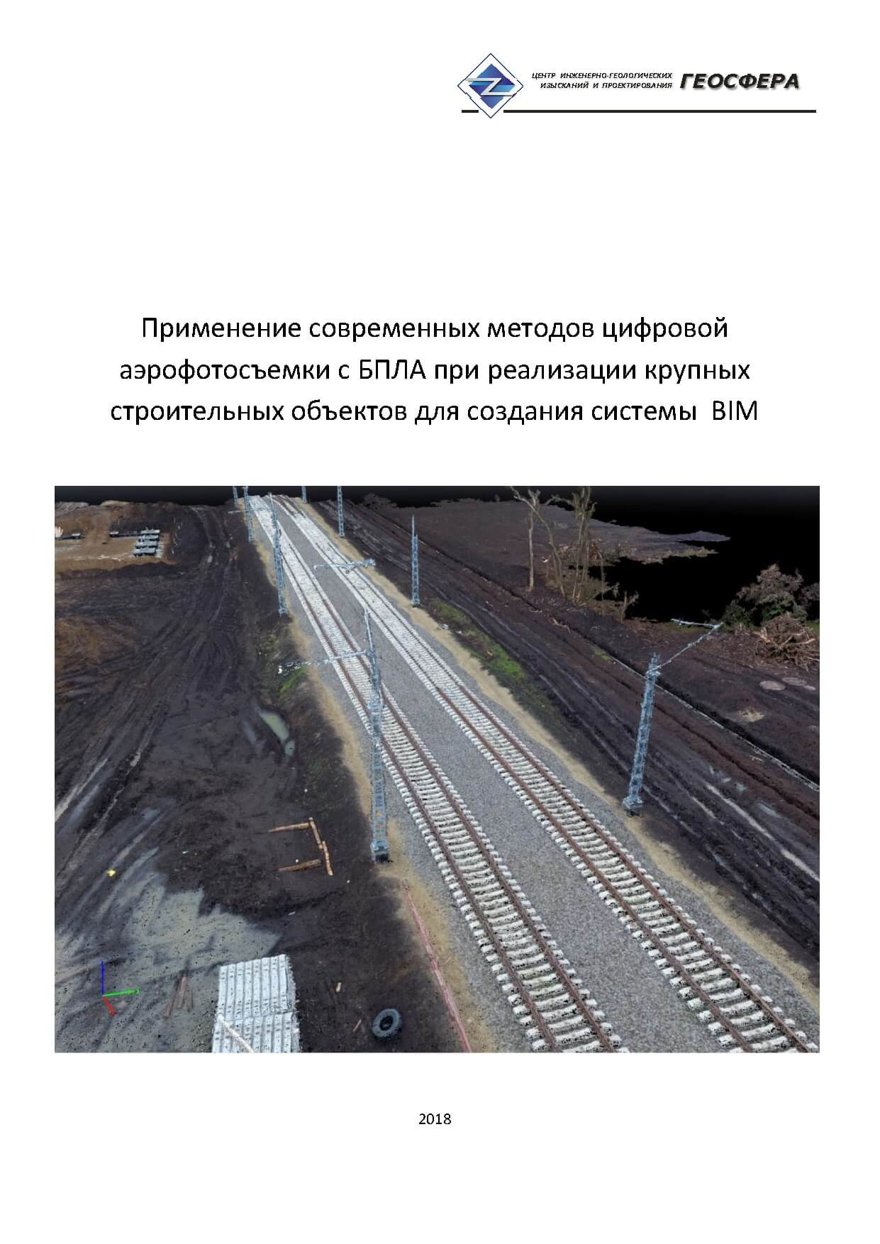
With the advent of unmanned aerial vehicles, the procedure for obtaining accurate geospatial data for the design of objects has become much simpler. Now you do not have to wait long for the completion of the laborious process of instrumental geodetic surveying, you can use the UAV to get instant, accurately geo-positioned images of the terrain with the smallest details, and in a short period of time collect the necessary information for design.
After the flight is complete, photogrammetry and cartographers process the data in specialized software, and the decoder gets the necessary semantic information to create topographic plans, which cannot be determined from the images. Created orthophotoplans of 1: 500 and smaller scales, 3D terrain models and digital topographic plans allow designers to solve many problems arising in the design of objects, and builders correctly select the necessary equipment and plan the implementation of certain types of linear work, taking into account rational use and environmental protection.
The main advantages for the design are:
- Solving the problems of shooting inaccessible places
- Accelerating the process of obtaining topographic material (1.5 times faster than the classical survey)
- The ability to shoot more space without increasing the cost and timing
- The high detail of the material obtained and the accuracy of the material make it possible to obtain complete data on the objects to be surveyed, which is impossible with the classical survey methods.
DESIGN
The main difference of BIM from other types of design is the collection and complex processing of all architectural design, technological, economic,operational and other information about the construction site in a single information environment (BIM-model). At the same time, all elements of the model are interrelated and interdependent, which, in fact, gives the model a factor of realism (proximity to the real situation).
Information modeling technologies have an abundance of quality advantages. So, it would seem, an imperceptible change in the spatial thinking of the designer ultimately significantly reduces the risk of errors, physical and intellectual collisions. The designer has the ability and direct need to think about the construction as a holistic three-dimensional object (existing also in time), and not as a set of drawings for the examination.
Presentation UAV BIM. Download

-
24.11.18Our laboratory passed an internal audit of Russian Railways and was allowed to perform laboratory tests on the object: “Railway Bypass of Saratov”.
-
24.11.18Our company received a positive local conclusion on engineering-geological and engineering-ecological surveys on the object: "Pushkin State Museum of Fine Arts"
-
24.11.18Our company received a positive conclusion on the engineering and geological surveys on the object: “Overhaul of the M-5 Ural Moscow-Ryazan-Penza-Samara-Ufa-Chelyabinsk highway in km 584 + 00


